Our tourist maps
Discover the Canary Islands as you have never seen them before. Here are four new maps for you to print for your trip to the Canaries, as you set out for this group of islands, each one different from the other. Between their idyllic beaches and volcanic landscapes, the Canary Islands have surprises in store.
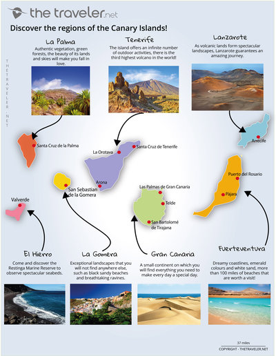
Region map
The Canary Islands offer a spectacular and varied landscape of idyllic beaches and volcanic terrain. Each island has its own distinct features: Palma has skies so clear it has become globally renowned for star gazing; or La Gomera where you can relax on an extraordinary beach - the sand is black!
Overview of 7 tourist regions
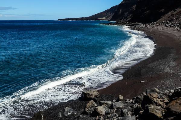
El Hierro
Come and discover the Restinga Marine Reserve to observe spectacular seabeds.
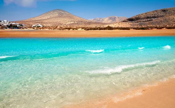
Fuerteventura
Dreamy coastlines, emerald colours and white sand, more than 100 miles of beaches that are worth a visit!
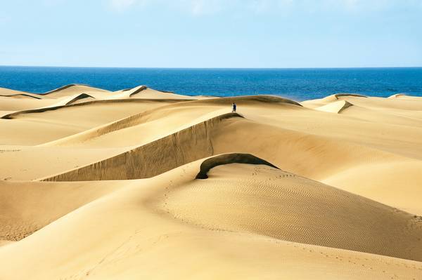
Gran Canaria
A small continent on which you will find everything you need to make every day a special day.
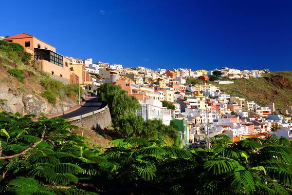
La Gomera
Exceptional landscapes that you will not find anywhere else, such as black sandy beaches and breathtaking ravines.
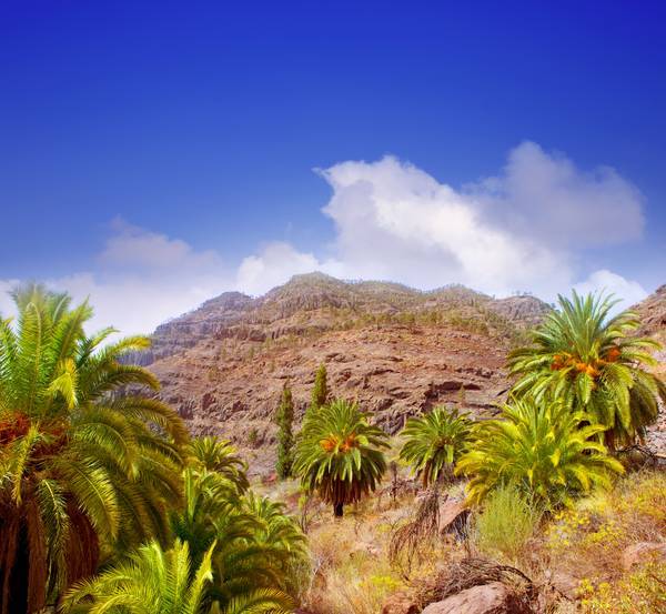
La Palma
Authentic vegetation, green forests, the beauty of its lands and skies will make you fall in love.
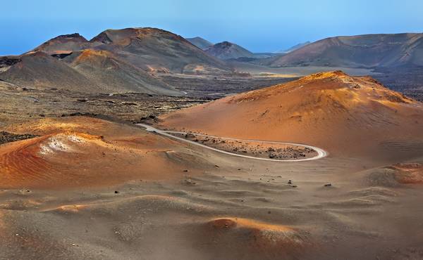
Lanzarote
As volcanic lands form spectacular landscapes, Lanzarote guarantees an amazing journey.
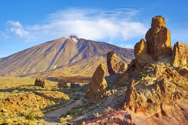
Tenerife
The island offers an infinite number of outdoor activities, there is the third highest volcano in the world!
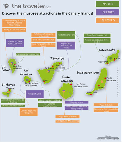
Attractions maps
The climate, said to be the most agreeable in the world, is ideal for discovering the islands’ riches. If you’re looking for relaxation on heavenly beaches, head for Fuerteventura. The volcanic terrain of Lanzarote and Tenerife will delight others. South of El Hierro, the Restinga marine reserve’s seabed is spectacular, and the seas around are inhabited by whales, dolphins and other cetaceans all year round.
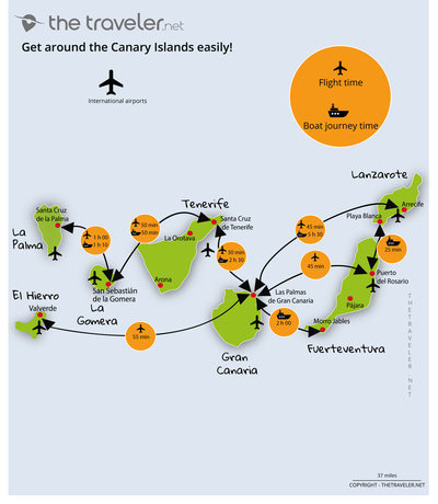
Routes and distances maps
With daily flights available from most European airports, the Canary Islands are just over four hours from London. Each island has a significant road network linking most towns, and a car is the best way to get around. To discover all the islands and travel between them easily and comfortably, there are two options - boat or plane.
You may also like
-
Flights to the Canary Islands
All you need to know before buying your plane ticket
-
Places to visit in the Canary Islands
The must-see attractions and the best places to visit the Canary Islands!
-
Hotel or vacation rental?
Find your dream accommodation in the Canary Islands at the best price...
-
When to go?
Be sure to visit the Canary Islands at the best time of year!
and why not...
 the Spanish Coasts

